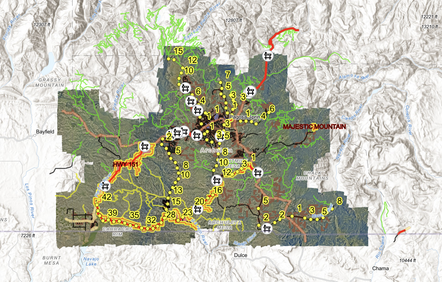
In an effort to provide up-to-date information, the Archuleta County GIS analyst has created a map to help identify affected roads, road closures, impacted areas and evacuation zones.
Feel free to explore the different layers and to zoom in to see individual addresses. The map will be updated to reflect changing conditions, so check back often.
The 2026 flood impact map released by Archuleta County can be viewed here.


 >